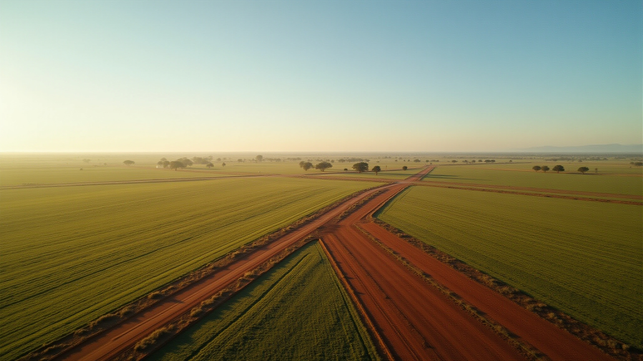
KNOW YOUR LAND. MAP IT. USE IT!


At Bushline Mapping Co, we believe every property has a story worth understanding. Having grown up around the land and the realities of rural life, we know how important clear, reliable information is when managing a property. Too many landowners, farmers, and rural businesses are working from outdated maps, scattered information, or no clear visual data at all. Our purpose is to help people make confident decisions by turning complex property information into practical mapping solutions that save time, reduce stress, and improve the way land is managed.
We do this by combining modern mapping technology with real-world rural understanding. Bushline Mapping Co works closely with clients to create accurate, easy-to-use maps and spatial data that are tailored to the way they actually work on the ground. We focus on clarity, reliability, and practical outcomes — delivering mapping solutions that are useful in the paddock, the office, and everywhere in between.

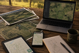
Bushline Mapping Co provides professional property mapping and spatial services for rural and agricultural clients. Our services include farm and property maps, boundary and infrastructure mapping, water and fencing layouts, paddock planning, digital map conversions, GIS data management, and custom mapping solutions designed to help clients better understand and manage their land.
